Visual inspection and As-built documentation of buildings
Drone flights in forestry and agriculture
Aerial images and digital orthophotos
Photogrammetric As-built surveys
Digital terrain models
Our range of services
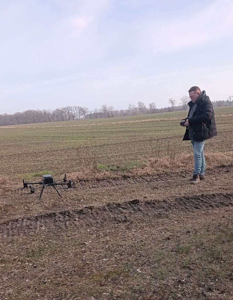
Drone flights
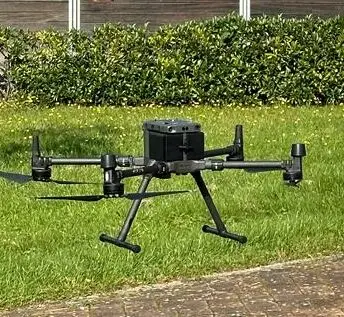
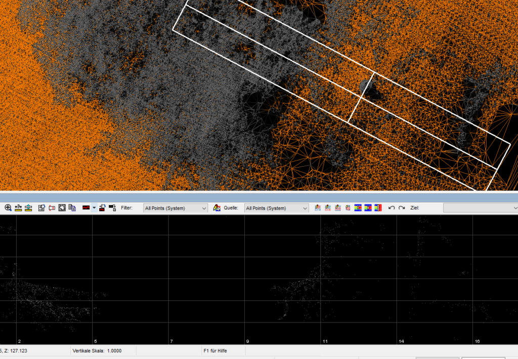
Drone DJI- M300 RTK Based on photogrammetric analyses, we offer various geological measures. Our drone is equipped with a high-quality TrueView 435 LIDAR scanner. With the processing software (LP 360), we can evaluate flight data in ordert o develop various models in 2D and 3D – such as high-resolution individual aerial photographs of terrain and objects as well as complex terrain models. We offer the following measures:
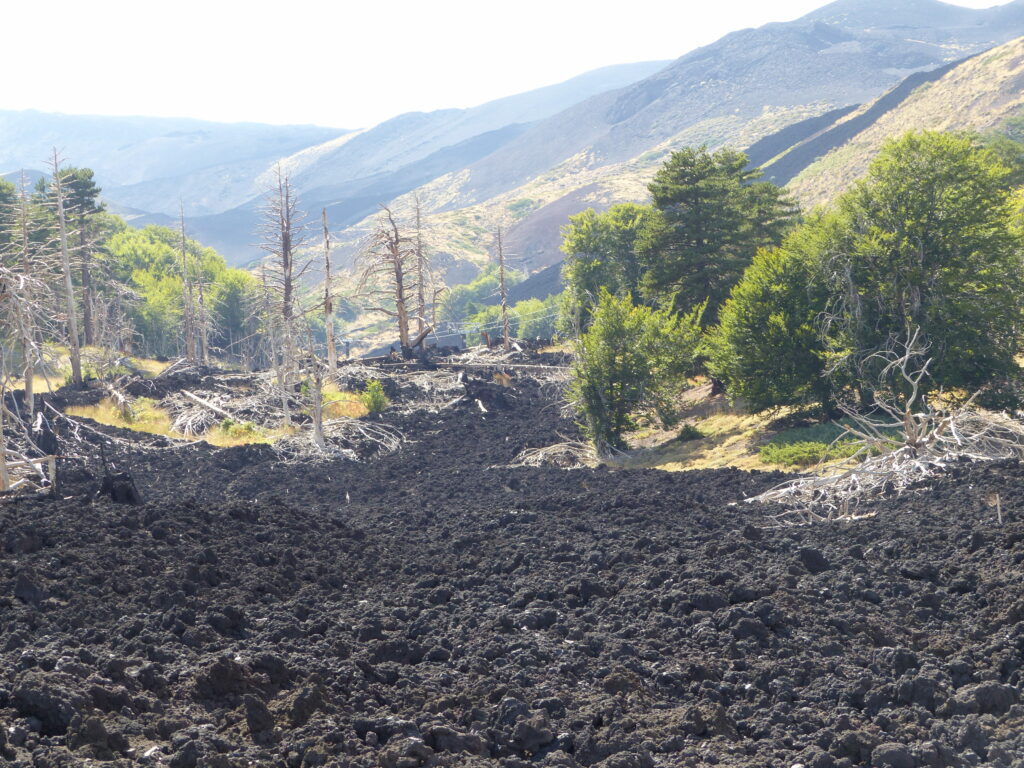
– monitoring and volume calculations on excavation pits (excavation volume) – rift analyses (landslides, rock outcrops, erosion), e.g. in mining – aerial photography for archaeological issues – digital terrain models (DTM) in 2D/3D – elevation models and orthophotos – visual inspections and as-built documentation on buildings – mapping and inventory as well as determination of biomass in forestry
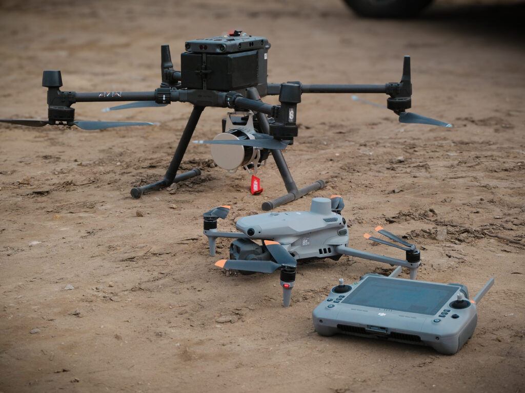
Drone DJI Matrice 4T This drone is equipped with high-quality cameras, including wide-angle, telephoto and thermal imaging cameras, making it particularly flexible and versatile. It can be used in many industries, in the electricity industry, emergency services, public safety and forestry. The following applications are pssobile (among others):
– Inspections of buildings, cables, tunnels, etc.; – surveillance; – human rescue operations; – environmental and animal protection.
Thanks to its zoom function (up to 112x) and an integrated laser rangefinder, it precisely detects objects from a great distance. Even in poor lighting conditions or at night, it delivers clear images thanks to night vision and infrared illumination. With a flight time of up to 49 minutes, high wind resistance and precise positioning thanks to the RTK module, it is ideally equipped for demanding missions in difficult environments.
We are based in the special category with both drone types and have a SORA-based operating license.
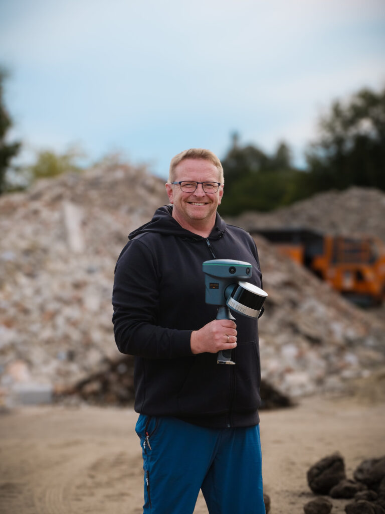
Hand scanner
Our latest device (one of the first ones in Germany) is a GeoCue TrueView GO116S handheld scanner. The LiDAR scanner has the same technology as our drone. In addition, the handheld scanner also has a SLAM algorithm and therefore is complementary to our drone technology. The “Simultaneous Localization and Mapping” enables precise 3D mapping in real time, even without GPS. In contrast to drone flights, the use of a handheld LiDAR system does not require a special ascent permit from the authorities, which facilitates its use in many areas. This technology is particularly interesting for surveying projects where the focus is on rapid data acquisition and effective evaluation of this data.
The introduction of drones in geotechnology has revolutionized the way geological surveys are carried out. With the use of drones, accurate elevation measurements can be taken to create digital terrain models, which many industries use as the basis for their software applications. With a drone, we can:
cover large areas within a short time
monitor geological processes such as erosion, landslides, etc. at regular intervals.
Reach areas that are difficult to access, such as tunnels, railroad areas, landfills, etc.
Exploring new areas with large amounts of data – also in research, by the way
This makes it cheaper and safer to carry out examinations that would otherwise require a high level of personnel and safety precautions.
Drone flights require expertise and an understanding of the weather conditions. Thanks to our special flight permit and geotechnical and meteorological knowledge, we are capable to carry out your project efficiently and with big safety measures.
Hand scanner
As a supplement, we offer the use of our GeoCue TrueView GO116S handheld scanner. With the handheld scanner we can:
use the same technology to record areas regardless of weather conditions and create digital terrain models (with and without GPS)
carry out data collection without an authorization procedure after consultation with you
flexibly capture smaller accessible areas (in relation to the drone) for which fast data acquisition is required.
We will be happy to explain both the strengths and limitations of these two technologies in detail.
About us
Geoscreening by GeoserviceSchaffert is a separate division of the company, which will be spun off as a separate limited company in the medium term. The contact person at Geoscreening is Danny Schaffert (CEO of GeoService Schaffert).
Danny Schaffert
CEO
Contact us
GeoScreening by Geoservice Schaffert Waller Heerstraße 2-8 27283 Verden (Aller)